Day 2 started out with me getting up at maybe 9 or 10 when it was overcast/foggy in Amarillo.
I don't remember getting much to eat until noon at ChickfilA, so that left time for prowling the jungles of the hotel lobby with the Duckies.
Now that's a happy scene.
I also started a tradition that continued through most of the trip, which was to shell out $0.75 to buy a local newspaper, the Amarillo Globe-News in this case. Of course the picture on the front page was a car stalled in a flooded underpass.
Once I got my lunch, I made one of the best logistical purchases on the trip at Autozone, where I purchased a tire inflator with a digital readout. Turns out all my tires were at 25 psi, and when I plugged in the inflator, it took not even 15 minutes to blow them all up to a nice 36 psi, which was an advantage both mileage-wise and psychologically.
From there, it was onto I-40 West going 80 mph (the speed limit is 75). The day's route was broken up nicely into two 300 mile halves: 300 miles from Amarillo to Albuquerque, and 300 miles from there to Flagstaff. All I-40! I got to see plenty of the high plains of the Pandhandle, yay?
Here's the view about 5 miles from the New Mexico border. Long straight road...
Some New Mexican terrain:
About 3 hours into the drive, I came to one of the coolest Route 66 stops in Clines Corner. Not a bad temperature eh? That's another recurring theme of the trip.
I'd been there twice, therefore I knew I had to get another Route 66 Root Beer and keep the bottle. I also got a New Mexico mug there that I still use regularly, because it's large and colorful.
There's a wooden Indian outside the entrance. A couple of nice ladies headed to Las Vegas (Nevada) took my picture with the Duckies there!
The lunch stop for the day was Albuquerque, New Mexico's largest city and home to a new favorite Mexican food place of mine that I discovered at about 3:30 PM Mountain Time that day called Taqueria Mexico. The tacos there are spicy but not too spicy, just right! Mom and Dad and I ate there in February 2013 on the way back to Texas as well because I got to have lunch there the first time. Many bottles of cokes lined the counter at this tiny place on Lomas Blvd near downtown.
The approach through the mountains by road to Albuquerque from the east is more scenic than the flatlands near the Texas border. The interstate begins to undulate up and down and wind through some sweeping turns in the Sandia mountains.
On the way out of town at 4:30, I got a call from Charlie Roch, and he shocked me with the news that our heavy equipment lending group at Comerica Bank that I had left not 4 days earlier had been shut down. Like, I left, and apparently the group fell apart after that! The landscape started to get a little greener as I neared the Arizona border.
This shows what I had left to drive that day, not far west of ABQ:
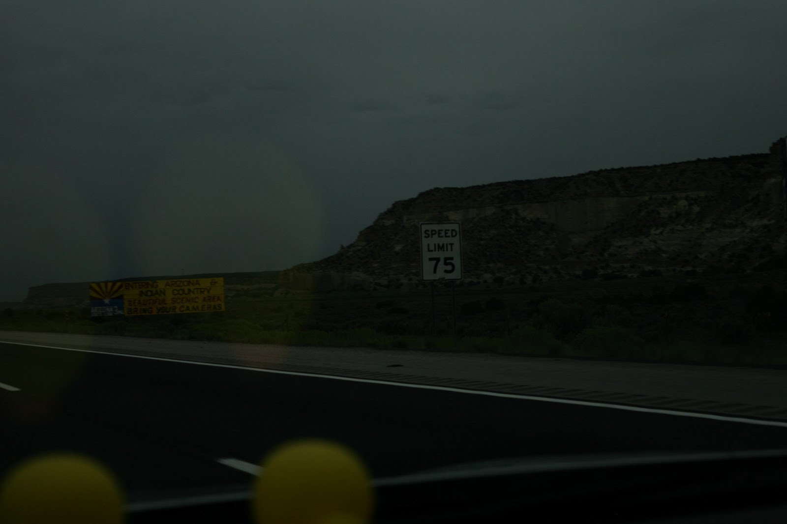
Sign welcoming me to Arizona, along with sheets of rain...
And yes, Arizona has massive Indian reservations.
Yep, got splashed with rain every second of the first night in Arizona, which was 2 hours solid even at the higher speed limits.
Great first impression of Arizona huh? Since Arizona isn't on Daylight Saving Time, the state doesn't spring forward with the rest of the Mountain Time zone states in March, so at this time (August 21st) it's effectively in Pacific Time. Thus, I gained two hours from Texas to Arizona, which produces a strange tiring effect. I got to Flagstaff around 9 PM, but my body was confused and thought it was 11 PM, so I felt pretty tired after a brief stop for a burger at Hardee's after trying and failing to go to a restaurant in downtown Flagstaff. Barely even got the photos onto the laptop and external hard drive before going down for the night.
Note: This post contains Amazon Affiliate links on which I make a commission if you opt to buy the product through that link. Thanks for your business if you choose to go that route!


No comments:
Post a Comment