Flagstaff is in the area of Arizona which does not resemble what most peoples' mental impression of Arizona is. Most people, I assume, think of Arizona as a hot, flat, endless desert. Really, a good portion of the state is mountainous, and going north on I-17 from Phoenix to Flagstaff, the landscape gets greener, and as I found out on Tuesday night, it rains in noticeable amounts there. Flagstaff is on the Colorado plateau, 6,900 ft above sea level, and lies adjacent to the San Francisco Range of mountains to the north on the way to the Grand Canyon. The highest of those mountains, Humphreys Peak, is the tallest in Arizona at about 12,600 ft. Since Flagstaff is higher in elevation than the southern big cities like Phoenix and Tucson, it actually gets cold there in the winter and gets 90+ inches of snow during the winters, according to Wikipedia.
Culturally, Flagstaff qualifies as an artsy, "weirder", coffee shop and outdoor activity rich place, being up near the Ponderosa pine forest and the mountains, only 100 miles south of the Grand Canyon. It's not as "weird" as the 4 Corners of Weird that I've designated in the U.S., such as Austin, Portland, Madison or Asheville. Fun little city though. Here's a picture of the downtown, not one that I took but found it online.

Here's a couple of looks at the mountains to the north of the Super 8 motel along I-40.


Not how you'd normally picture Arizona right? But it's good to be up in those highlands, the air was crisp, cool and clean.
I think this was one of the few mornings on this trip where I actually had the continental breakfast in the hotel, because I don't remember getting any kind of lunch in Flagstaff. I do recall going to a neat coffee shop downtown, called Late For The Train. They had a lot of funny quotes along the side of the counter, including "No Coffee, Workee" signs. That was a worthy Instagram. Going to that coffee shop started a tradition that I kept going through the entire journey of going to local, non-chain coffee shops in just about every city I went to. It's a good way to experience more of a city than if one just goes out for food and touristy places.
Downtown Flagstaff is a walkable, compact area with lots of local shops and architecture. I also parked near and walked in Heritage Square, which has a very colorful tiger that the Duckies made friends with.


It was only a few miles north of Flagstaff before I turned right onto Snow Bowl Road, and headed up into the Arizona highlands. That could be Humphreys Peak off to the right, that was definitely a moving picture judging by the amount of car in it.


Here's a look at the thick pine forests of Snow Bowl Road.


This was my second time to visit the canyon, but still, my only thought was "wow...". As one walks the trail along the rim, information signs tell you objects that appear fairly close can be 5, 10, 12 or even 20 miles away. Visibility like you wouldn't believe!
People of many nations, tongues and tribes on the precipice:

The Grand Canyon was probably tied with the Empire State Building for least amount of English spoken in a crowd on this domestic road trip. The vast majority of things people around me were saying, I couldn't understand one word of.
The near Martian red rock colors and the mists far away:

I was told that peak in the distance was 5.2 miles away, which creates a minor "whoa moment":


One white rock close, everything else hundreds of yards in the distance:
")


Duckies perched not precariously at all in a tree not even close to the rim...

This is the point where I post the rest of the day's pictures without captions, it's a long enough post already. The thing that struck me that afternoon as I took a picture of the odometer passing 1,000 miles for the trip was that, at that moment, the trip and the vast distance to be covered finally felt real. Like, I couldn't just turn back around and be home that day; I truly felt on my own at that point. This wasn't too unsettling, just an important shift in my thinking about the trip.
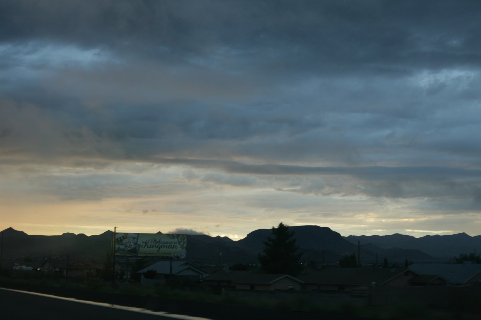
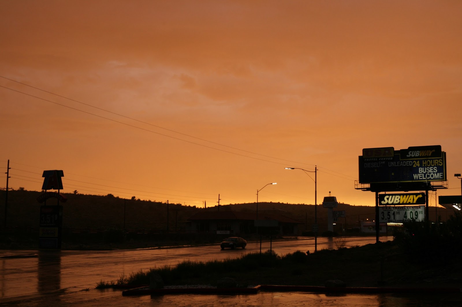
Final note: I didn't get a good picture of the Las Vegas basin because it was 10pm and dark by then, but let me tell you, it's a brilliant scene! Highway 93 from Kingman to Vegas is the darkest highway I've ever traveled, and then out of that night, to suddenly come around and see the tremendous burst of light that is Sin City, it's a beautiful thing to behold in person, and then to reminisce with others about. Great scenic drive moment. Here's the rest of the canyon, the road to Kingman and remaining rainstorm, and Hwy 93 from Kingman until it got dark.


Best of all the very bad pictures of Las Vegas, wish I'd had a copilot for this shot.
No comments:
Post a Comment