
The day didn't start well, I'll admit. I got to Vegas at 10 the night before, had a hard time finding the hotel/casino (zip code issue in Google maps app), and had gone without dinner. The hotel was so big, being out in the 'burbs, that it was impractical to go get the car back out of the garage to go get dinner, so I ate granola bars in the hotel room and kinda made that work. I ended up not sleeping much at all, but thankfully the checkout time at the hotel wasn't until noon the next day, so that was a big help to get to sleep in. I woke up to this view of the dry Vegas landscape:


This shopping center also had a hipster emporium, aptly named R+D, after my friend R.D. McClenagan.


All the highways there are like this one, many lanes, very wide and open except for the walls alongside them. It means, along with the wide, straight boulevards that make up the non-highway transportation network, that it's a very car-centric city. I happen to like driving, obviously, so that actually appeals to me, I liked driving around Las Vegas just fine once I'd found the hotel the night before. The fact that it's a desert with open sky and mountain views helps too. To reiterate for my friend Abi Pierce, Las Vegas is a very sprawling, low density city outside of the Strip itself.

I think most of the time from the first few minutes that I drove in on I-515 the night before I had been listening to an 80's band called INXS, pronounced "In Excess", which seemed very appropriate given Vegas' propensity of being an In Excess kind of place. And now, the Strip:


Off to the left, one of the infamous Las Vegas wedding chapels you've probably heard of:


The mighty Sahara, with visionary cuisine next door:

Random hotels:


Encore:

The only decent shot of the Wynn hotel, right past the Encore. The Palazzo is also nearby:

Notice how the horizon is all hotels looking south:


The Mirage, with its glitzy entrance sign, like a lot of things Las Vegas:

The fake Venetian-looking bottom part of the Venetian across the street:

This was an upcoming show at the time:

Render unto Caesar...

A couple of other notables, Harrah's and Casino Royale:


The knock-off version of the Eiffel Tower:

The Flamingo:

Best shot of the Bellagio from that day; apologies for the crooked camera angles, but the camera weighs a good number of pounds and it was tricky to hold it one-handed and pay attention to driving with the other. I think I did pretty good given how I didn't get into any fender-benders, thank God.
Anyhow, seeing the Bellagio makes me think of George Clooney listing off all the hotels the gang is gonna rob in Ocean's Eleven: "The Bellagio, the MGM Grand, and the Mirage."


Monte Carlo up ahead, near Tropicana Avenue:

Like Frank Sinatra says, New York New York!

The MGM sign:

Excaliber! Gotta love the battlements and other defensive positions.

The Tropicana is one smooth, blindingly white building:

The 400ish foot tall knock-off Empire State Building, under-lit:


Not that I ate at this location, but it's just comforting to know there's an In-N-Out across from the Strip:

Excaliber and the MGM Grand from I-15:

THE Hotel (like literally, THE Hotel) and Mandalay (or in Seinfeldish, Vandalay) Bay:

The Luxor pyramid, and no it's not a tomb of the dead, although some dead souls may still be gambling in there:

And that was the end of the Las Vegas Strip for me. I then started cruising down I-15, and began my exit interview from my former job on the phone while I was driving along this stretch of highway:

Ironically, according to the rules, I was supposed to be finishing the second week of my two weeks notice at work instead of zooming southwest on a highway near California, but my boss was nice enough to let me go a week early for this trip. The woman who was conducting the exit interview didn't know where I was until the end of the phone call, but then instead of chastising me, she said that the trip sounded awesome and that she had taken a similar road trip from New York to LA when she was younger. Small world!
I have only seen this straight of a road in west Texas, but this one has mountains off in all the distances:


By now it was about 4pm Pacific time, and God provided Lola's Kitchen, a really good Mexican food restaurant in a strip center in Barstow, which is at an important junction of I-40 and I-15 in the desert north of the beginning of the LA area. Mmmmm mmmm those enchiladas were good! I ate a couple of entrees there, I was famished; it definitely merits a return trip if I'm ever driving through again.
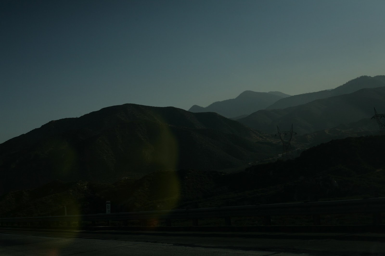
From Barstow, I kept heading south on I-15 through the suburbs of Victorville and Hesperia, anticipating a scenic drive I had seen recommended online: the Rim of the World. As I approached the gap between the San Gabriel and San Bernardino mountains, the hills got steeper and greener:


I started off in manual mode going east on 138, and it didn't take long to get into some tight curves and switchbacks amongst the hills. The Duckies were in the bag, and that gave me full license to attack these corners as hard as I dared, even more aggressively than I had in Arizona. I didn't intentionally take pictures of those corners due to the obvious hazards, but I did catch one in the rearview near the end of that sequence:

Here's a view of the road as it straightened back out, and entering San Bernardino Natl Forest:


My first major stopping point was Silverwood Lake:


The water of this "lake", aka a reservoir, was glassy smooth:


Going uphill past Silverwood:


By this point the highway had changed to CA-18, which is still called Rim of the World along this path by the way. There were so, so many curves and switchbacks left to conquer:

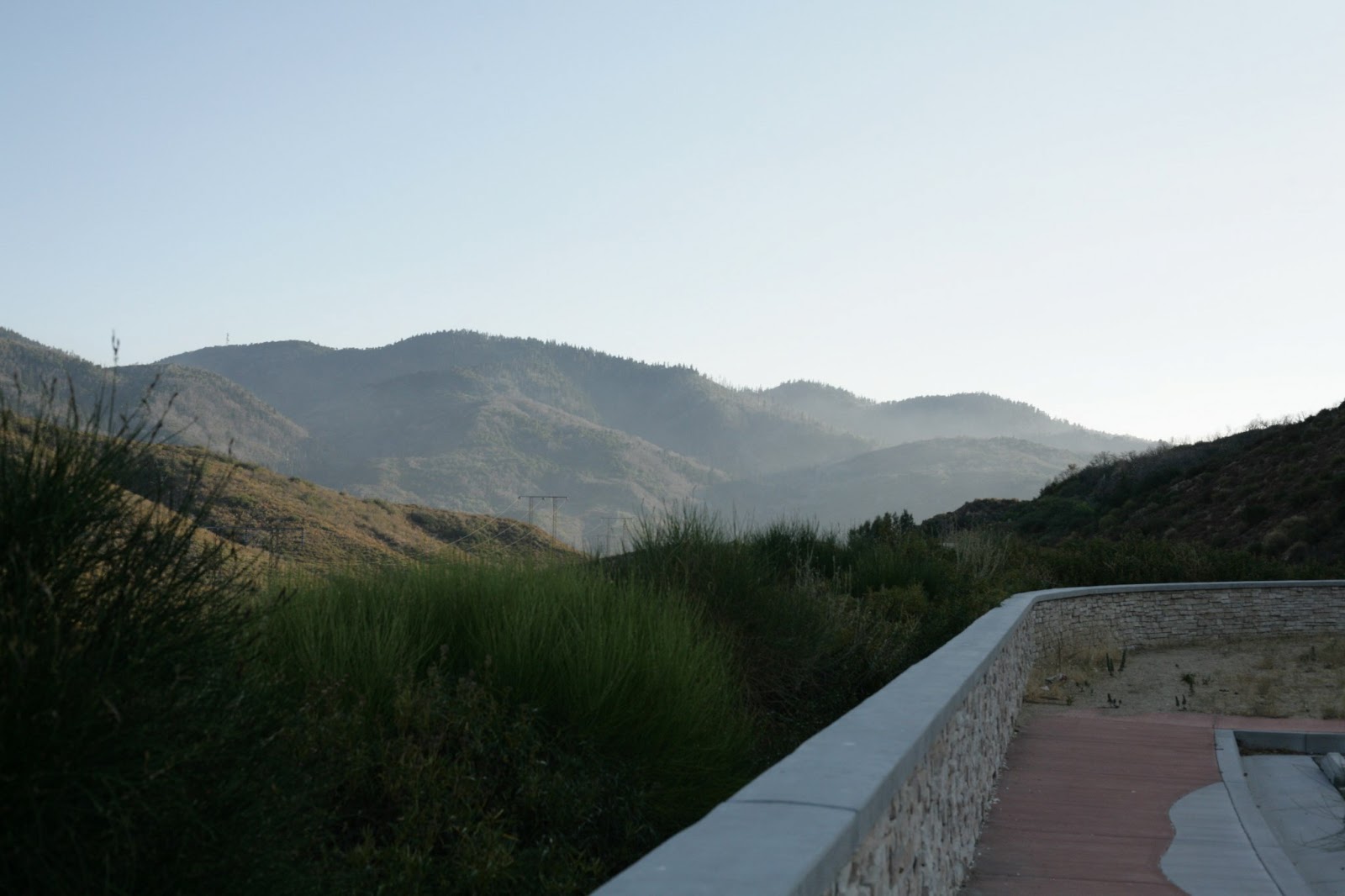
And Voila! The southern front of the San Bernardino mountains, where I stopped at my first overlook in a while and had a grand view:

This, and upcoming views, is a southeastern look at San Bernardino, California, the far eastern edge of the Greater Los Angeles area, a good 70 miles east of downtown LA.


I don't know exactly how high up I was, I assume 4,000 to 5,000 feet above sea level, but it felt like I was way, way above San Bernardino and surrounding area.

A sunlit, westward view of the switchbacks of CA-18 as it winds south to the city.


The overwhelming reason why it took me so long to get through this stretch of the scenic drive was the fact that it seemed that every quarter mile or so, I'd come flying around a corner, see a lookout, stand on the brakes and jump out to take more pictures. I absolutely couldn't get enough of this place. Here's the car taking a breather at one of the overlooks:

The Duckies truly were on the rim of the world:


And now, an underexposed twilight-ish picture looking east again:


These pictures of forested mountains surrounded by clouds, mist and probably smog are very representative of what a lot of west coast and the inland areas of California look like on either side of the San Joaquin Valley in the middle. It's a very mountainous state, and that's a good thing scenery wise.
From this point on, it was too dark to get any better pictures, and I had foolishly, or maybe fortunately, decided to try and make it to Big Bear Lake to take pictures there. It's farther than I had originally thought, because of how the road winds along the mountain ridge.
The town was a few minutes too far away to make the pictures happen, but I gave it a very good effort: the Infiniti was at its finest, tearing along straights and around bends and curves with ferocity as I pushed the pace. Two interesting observations during that time were 1) I thought I was taking corners very quickly, but people in slower cars tended to keep up with me, telling me that they were very used to these mountain roads, and 2) this is the only time I've noticed this, but the speed limits were too high for me to achieve because of how twisty the road was. It'd be a 50mph limit, but even on a straight nearby I'd only have room to hit 40 before getting back on the brakes for another turn.
I missed out on Big Bear Lake in daylight, but I did get to pass through that quaint little mountain town, and because my tank was somewhat low, I filled up on $4.40 gas there. This was a very wise choice, for once I began to head further east on CA-38, I saw a sign that said "No Gas - 50 miles". It wasn't an exaggeration.
My good friend Justin Hughes had set me up with a seminary buddy of his to stay with in San Diego, which was getting farther away and as the night really began to fall. I'd already texted Nick to tell him I'd be later and later, and therefore I was in a hurry. CA-38 makes a big loop that curves back to the west and into the LA area again, and it really was 50 miles of no civilization, just tall trees, 55mph curves of the road, and an incredible starscape above me. No human lighting out there, so no urban glow to interfere with starlight. I didn't have a tripod with me so no decent star pictures, sorry!
As I was coming to a big bend in the road, I did get a glimpse of the glow coming from the Redlands, the eastern gateway to the LA area:
From there, I drove west along a very straight road into the Redlands, hopped onto I-10, then I-215 and I-15 to drive 2 more hours to San Diego, arriving at 11:30 that night. There was an eerie orange and pink glow to the misty, mild humidity that seemed to hover between LA and San Diego. I-15 curves gently through more low-range mountains and hills along that path, it was nice to drive through even at night.
Nick and his wife Natalie greeted me with ice cream and my own room in their condo, and stayed up listening to my road trip plans and ideas so far. And thus ended one of the best days of this 39 day adventure.
Here it is again, because I like the photo so much: Rim of the World - Drive It Before You Die.

No comments:
Post a Comment